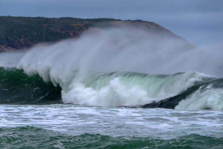
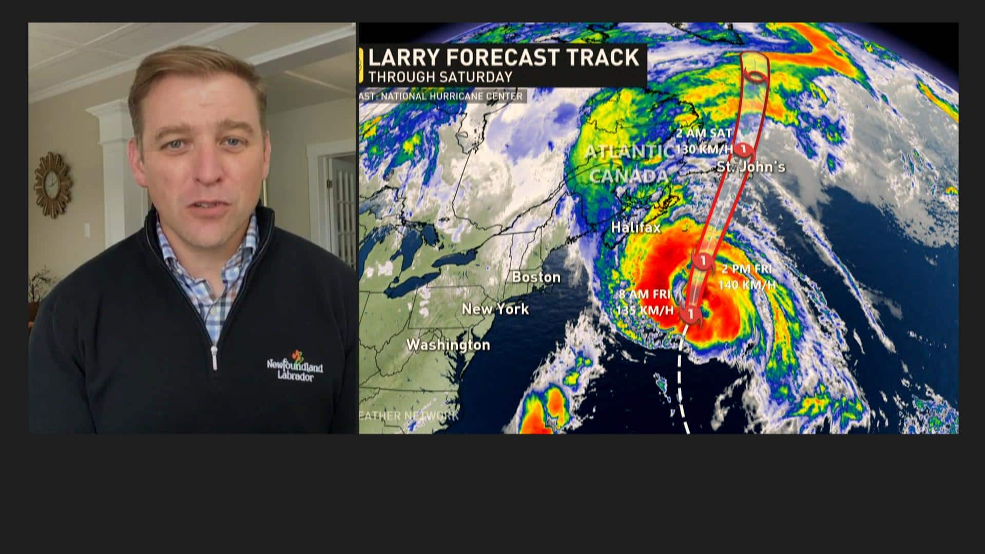
Hurricane Larry is nearing its descent toward the east coast of Newfoundland, and meteorologist Rob Carroll says the track is looking consistent Friday morning for what will be a Category 1 storm.

Hurricane Larry is nearing its descent toward the east coast of Newfoundland, with a meteorologist saying the track as of Friday morning was looking consistent for a Category 1 storm that will hit parts of the island late tonight.
A fast-moving storm, Larry is now expected to drop less rainfall than had been considered possible in earlier forecasts.
Rob Carroll, who works for Environment Canada’s weather office in Gander, said Larry’s peak will just be a few hours starting around midnight NT to about 5 a.m. Saturday, with wind gusts reaching 110 km/h, but nearing 140 km/h along parts of the coast.
This period of time will also bring with it the heaviest rainfall, but Carroll said it should blow by quickly.
“We could see some heavy rainfall for two, three, four hours there late this evening and overnight, maybe even a few thunder showers as well,” he said.
Carroll told CBC Radio’s St. John’s Morning Show the hurricane will move through the eastern side of Placentia Bay and western portion of the Avalon Peninsula, heading north through the Trinity Bay area overnight.
Environment Canada has the entire Avalon Peninsula — which includes the metro St. John’s area — under a hurricane warning.
“It is starting to accelerate northeastward and heading directly for us,” Carroll said Friday morning. “Most of the action will be tonight.”
20 to 30 mm rainfall expected
Tropical storm warnings are also in effect for some areas west of the Avalon Peninsula, Carroll said, including Clarenville and the Burin Peninsula.
Carroll said rainfall totals should amount to 20 to 30 millimetres.
Storm surge warnings are also issued for south-facing coastal communities, with the potential for coastal flooding, high water levels and 10- to 14-metre waves, he said.
WATCH | Get ready now for Hurricane Larry, premier urges:

Get ready now for Hurricane Larry, urges N.L. premier
Newfoundland and Labrador Premier Andrew Furey is warning residents to prepare an emergency kit as the province braces for a Category 1 storm to hit about midnight tonight. 1:23
On Thursday, government officials and the Canadian Red Cross insisted people prepare themselves and their homes for the imminent storm.
Karen Roache, who lives in St. John’s near Quidi Vidi Lake, heeded the advice and was busy around her property Thursday afternoon, trimming branches, securing fences and chairs and making sure her kayak was tightly packed away on her patio.
“It’s best to be prepared,” Roache told CBC News.
“I’m concerned about the trees. We’ve got a lot of really tall maples in the back. So we’re worried with the leaves on them they’re going to be really top-heavy. I’m hoping there’s not too much damage.”
On Friday, the city of St. John’s gave a breakdown of how it’s preparing for the storm. Lynnann Winsor, deputy city manager for public works, told reporters city staff have been clearing culverts, catch-basins and waterways of debris while also preparing sandbags and barricades.

Winsor said extra city staff are on standby Friday night and throughout the weekend. The city is recommending residents be prepared to be on their own for 72 hours, according to Winsor. She said the city will address the public’s needs, such as charging stations and shelters, Saturday morning after the storm.
Residents are reminded to call the city’s access centre to report damage and hazards at 311 or 754-2489 and secure their garbage bins.
Chief Sherry Colford of the St. John’s Regional Fire Department reminded the public to not call 911 in the event of a power outage or property damage.
“Use 911 for emergency services only. If you have an immediate threat to life or your property, such as a fire, certainly call 911,” Colford said.
Krissy Holmes of The St. John’s Morning Show will provide live updates on CBC Radio, while CBC N.L. meteorologist Ashley Brauweiler will provide the latest on Larry’s path. You can also get up-to-date information on cbc.ca/nl. Coverage starts after midnight NT. At 11:30 p.m. NT, tune in to Atlantic Tonight on CBC TV for the latest on the storm from Brauweiler and Ryan Snoddon, meteorologist for CBC Nova Scotia and CBC New Brunswick.
Read more from CBC Newfoundland and Labrador

